Cano Island Biological Reservation
The Costa Rican government declared it a biological reservation in 1976.
The Caño Island has been declared a biological reservation, because it has unique terrestrial flora and marine fauna.
Its name is due lo the Spanish sailor Juan de Castañeda, who visited in 1519, giving it that name because of the presence of a cascade which flows over the cliffs.
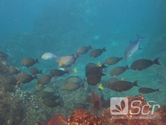
The Caño Island national reservation protects an important marine environment. The clear waters are home to many species of fish, spineless animals, algae and mammals like dolphins and whales.
The island is covered with a tropical rain forest which consists of approximately 158 species of plants; among those, giant trees which grow more than 150 feet tall.
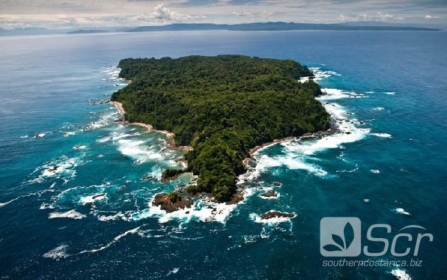
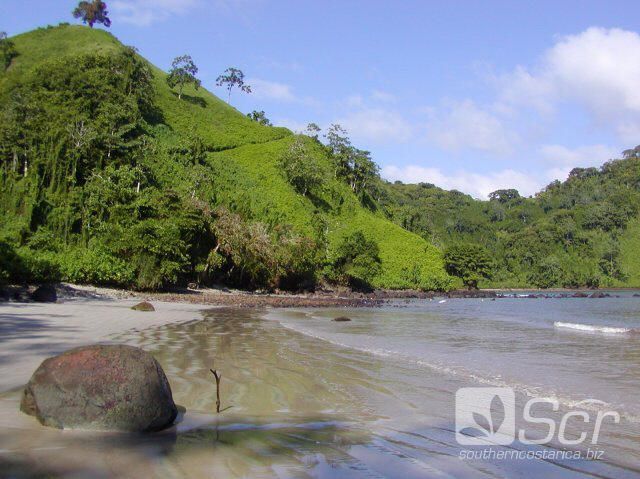
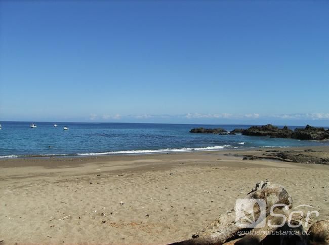
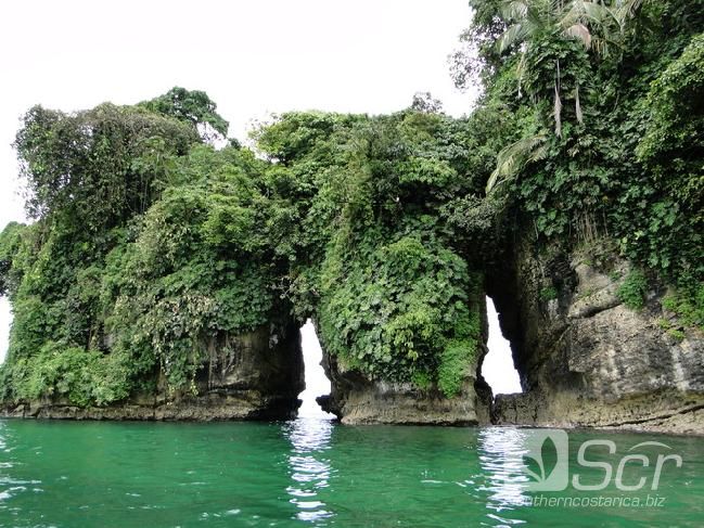
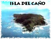 Isla del Caño is located on the Pacific ocean, 77 km. from Osa Península. It has 10 km. of irregular coasts in which abrupt cliffs alternate with small white sand beaches. At the center of the island is a wide plateau, from which descend gorges and streams into the sea. Some of them are seasonal.
The maximum altitude is 110 m.a.s.l.
It was formed by the sinking of the underwater Caribbean plates. According to some studies, the island sinks 10 meters every 1,000 years.
FLORA AND FAUNA
In spite of its proximity to the continent, the island has more than 160 species of superior plants and ferns, including the vaco, the hule, wild cocoa, higueron and guapinol. There are many lianas and epiphytes, such as the very gaudy philodendrons, a large leafed species which will be very familiar to the traveler. The vaco is also known as milk tree because of it's white which can be drunk. Some of these trees are 50 m high. It has big edible seeds which are very tasty to rodents, parrots and sainos. The presence in Isla de Caño (Caño Island) of an almost pure forest of this type, makes you believe that the natives possibly cultivated there in order to protect it's fruits from the mainland animals.
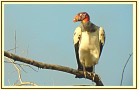 There are 13 terrestrial and marine bird species, such as the crab sparrowhawk, the fish eagle, brown piqueros, dun pelicans and the frigate birds. The scarce mammal population includes bats, foxes and the tepezcuintle.
The snakes are relatively abundant, and except for the seas snake, there are no poisonous reptiles in Caño Island; only sabaneras, boas,and bejuquillas.
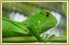 Iguanas, lizards, little frogs, basiliks are found all over. The insects are not well represented though. There exists 2 species of fresh water fish as well. Navigating to the island, it is possible to find the presence of sailfish, various species of dolphins, cachalote, and if you are lucky, pilot whales and humpbacked whales, which are close to extinction.
ARCHEOLOGY
The presence of tombs, stone spheres and gold and ceramic offerings makes you think that the island was used by pre-Columbian natives as a funeral sanctuary for important persons. However, the finding of ceramics for domestic use and devices used in agriculture suggest that it was inhabited permanently.
VISIT
The climate of the island is very humid and warm; a moderate dry season develops between January and February, making it the best time to visit.
The most common activity is to visit Dominical, the Marenco Biológical Station, or the lodges situated in Bahia Drake. It is also possible to rent a boat in Sierpe.
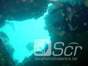
You land hike on a 400m. beach, where the National Parks Service is located. A forest ranger who controls the area, lives here permanently, communicating by radio with the San Pedrillo station at the Corcovado National park. This beach is suitable for bathing and diving along the reefs.
A network of paths allows you to cover a large part of the island by foot, giving you time to contemplate the vegetation, the scarce fauna, some archaeological finds (stone spheres and ceramic fragments), and some panoramic views.
During the low tide it is possible to walk along the beaches and rocky platforms which surround a great part of the island, allowing you to observe a varied fauna; besides fish, there are lots of stars, crabs, guitoner or sea cockroach, sea urchins and mollusks such as limpets and the so called "cascos de mula".
It is important to be aware of the rising of the tide, because the platform remains under the sea level during the high tide and some beaches disappear. Almost all the island's border is formed by rugged cliffs 70 m. high. If you get lost, you can be in a fix. It is advisable to inform the forest rangers that you are going to the coast, and ask them which are the safest sectors.
With an advance request from the National Park service, you can go camping on the island. even though there are not suitable installations for that.
Area: 300 ha. terrestrial and 5.800 ha. marine.
Be the first to comment on this listing!